Measuring the temperature of the sea
Measuring the temperature of the sea
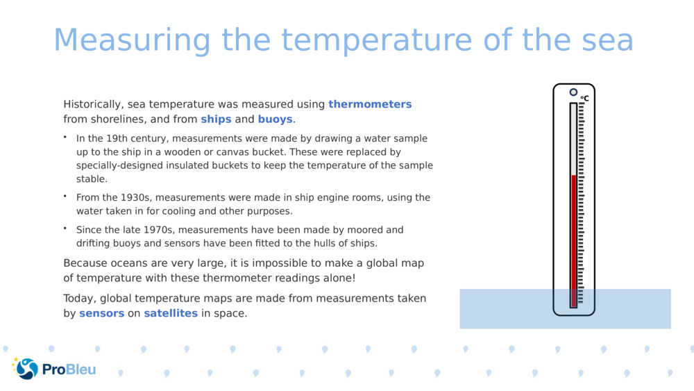
Measuring the temperature of the sea Historically, sea temperature was measured using thermometers from shorelines, and from ships and buoys . In the 19th century, measurements were made by drawing a water sample up to the ship in a wooden or canvas bucket. These were replaced by specially-designed insulated buckets to keep the temperature of the sample stable. From the 1930s, measurements were made in ship engine rooms, using the water taken in for cooling and other purposes. Since the late 1970s, measurements have been made by moored and drifting buoys and sensors have been fitted to the hulls of ships. Because oceans are very large, it is impossible to make a global map of temperature with these thermometer readings alone! Today, global temperature maps are made from measurements taken by sensors on satellites in space.

Original Slide Deck: Measuring temperature from space
Topics: Ocean. Climate. Ocean Temperature.
Suitable Ages: 8. 9. 10. 11. 12. 13. 14. 15. 16.
Keywords: Climate. Satellite. Temperature.
Uploaded By: pml-admin
Number of bundles using this content: 2
Licensed under CC BY 4.0
This content has been used in the following resource bundles:
Measuring temperature from space
This resource bundle contains materials that describe how and why sea ...
View BundleMeasuring temperature from space
This resource bundle contains materials that describe how and why sea ...
View Bundle